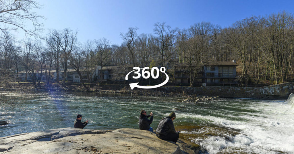
Around Delaware’s beautiful Blue Rock cliff, formerly quarried and now home to the state’s only natural rock-climbing wall, natural resources like mature woodlands and the Brandywine River meet a rich industrial and cultural history at Alapocas Run State Park. The Blue Ball Barn, now a popular event space named for the Blue Ball Tavern that once served travelers in the area, was built in the 1900s as a dairy barn that supported A.I. DuPont’s Nemours estate. It now houses the Delaware Folk Art Collection and tells the park’s history in story form. Pawpaw trees, North America’s largest native fruit-bearing tree, grows in the forest understory. Delaware’s only venomous snake, the non-aggressive Northern Copperhead, occurs here. A Storybook Trail winds around the Can-do Playground, designed to be accessible to every child. Alapocas Run is also home to the Northern Delaware Greenway Trail, a National Recreation Trail.
Levante Stables
Levante Stables was intended be a long-term location for the hop wizards at Levante but the owners were unable to reach an ongoing agreement on the lease and had no choice but to close. This indoor/outdoor virtual tour commemorates this once bustling location in Chester Springs, PA.
The Oddporium
The first and only oddity shop in the state of Delaware. Here you will find everything from animal oddities of nature to antique medical instruments to vintage funerary items to spiritual supplies such as crystals and sage. Your one stop shop for the peculiar and the bizarre.
Corsons Inlet State Park
Street View abruptly ended at 59th Street and Central Ave. in Ocean City NJ so we deployed our Street View Trekker to extend Google Maps into Corsons Inlet State Park and connect our fresh blue line to the images that the Google Street View Car created in September of 2013.
Steel Pier Atlantic City
Walk the iconic Atlantic City Steel Pier end to end on Google Street View. Plenty of affordable amusement rides, carnival games, and outstanding views. Navigate by clicking and dragging with your mouse or using these keys W – forward , S – back, A – left , D – right.
New to Street View ? Watch our short video of Street View Tips.
Ding Darling National Wildlife Refuge
The US National Fish & Wildlife Service is responsible for running the J.N “Ding” Darling National Wildlife Refuge on Sanibel Island. “Ding” as it is known to the locals is a fantastic destination which had been left uncharted by Google Street View. With our Trekker backpack and transportation provided by the USFWS we were able to successfully map this national treasure for everyone to enjoy.. We also took our 360 cameras inside the visitor center to round out the virtual tour experience.
Project Scope: The refuge consists of several trails and locations. Our goal was to create 360 images and Google Street View imagery for the following attractions:
- Wildlife Drive
- Visitor Center and award winning bathrooms
- The Indigo Trail
- The Wildlife Education Boardwalk
- The Bailey Tract
Here is an interactive photo tour – click any thumbnail to view the panoramic images: